



Global SkySong | UAV Detection & Situation Awareness Platform

Drone monitoring system for low-altitude security and supervision. Featuring fixed deployment, ground mobility and aerial patrol, it delivers full situational awareness across all areas.
Core Selling Points:
- Full-link: End-to-cloud integrated access and management
- Multi-form: Coordinated detection of fixed, mobile and airborne terminals
- Practical & Deployable: Real-time alert, trajectory review, evidence retention and permission management
Project Introduction
YunScan is a low-altitude security-oriented drone detection platform. By collecting and analyzing air signals, it realizes real-time discovery, identification, positioning, alerting, tracking and evidence collection of drones. It empowers campus security, key site protection, event security and law enforcement patrols with visible, controllable and traceable low-altitude situational awareness capabilities.
Pain Points Solved:
- Hard to detect unauthorized, flight-disrupting and boundary-crossing drones in a timely manner
- Decentralized multi-point deployment leads to failure in unified situational display.
- Lack of complete evidence chains for on-site disposal, including time, location, trajectory and records
- Difficult cross-organization and multi-role collaboration, with needs for authorization, hierarchical management and audit tracking.
- Traditional solutions feature high deployment costs, slow expansion and heavy maintenance workloads.
Core System Capabilities
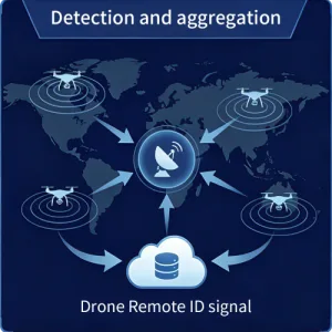
1.Real-time Detection & Identification: Automatically parse data including SN code, coordinates, altitude, speed, heading angle and pilot location.
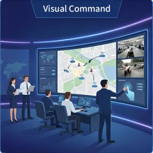
2. Map Situation & Trajectory: Powerful master control platform for real-time viewing of targets and devices, alert monitoring, and historical trajectory review.
3. Hierarchical Alarm & Linkage: Triggers alerts for boundary violation, black/white list rules and sensitive area intrusion, supporting multi-channel notifications and closed-loop processing.
4.Multi-device Collaboration
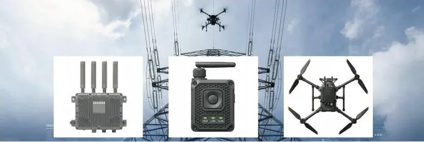
- YunScan-F1: Installed at high positions for 7×24-hour continuous monitoring of key areas and data upload to the cloud.
- YunScan-Y1: Portable for individual patrols, enabling instant detection and alerts on the move.
- YunScan-Air: Mounted on drones for aerial patrol, detection and cloud reporting.
5.Unified Permission & Organization: Supports multi-organization, multi-role, hierarchical authorization and operation audit.
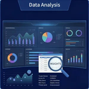
6.Data Storage & Report: Event statistics, export and archiving to form traceable evidence chains.
System Architecture
- Detection Terminals: Fixed (Roof Mount), Mobile (Soldier Shoulder Mount), Airborne (UAV Payload)
- Transmission: Fixed & Airborne Terminals direct cloud connection; Mobile Terminals accessed via mobile APP
- Cloud Platform (SaaS): Unified Device Mgmt, Data Aggregation, Alarm Rules, Map Situation, Reports & Permissions
- Clients: PC Command, Mobile APP (On-site Response), DJI Pilot (Full-scene View)
Collaboration Logic: Fixed stationary monitoring, individual soldier mobile patrol and aerial inspection jointly form a full-domain low-altitude situational awareness network. The SaaS platform integrates multi-source data to realize unified alert management, access control and event review.
Software Functions
SaaS Platform
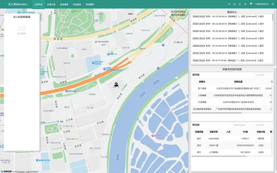
- Situation Large Screen / Map: Device & Target Distribution, Heat Map, Real-time Alarms
- Navigation Distribution: Generate QR Code for Incident, Scan to Jump to AMAP.
- Target List: Structured display of Remote ID information, with filtering and marking functions.
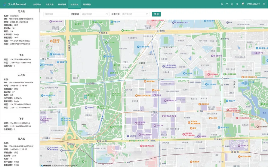
- Track Playback: Replay historical drone tracks by incident to assist in review and evidence collection.
- Alarm Center: Triggers for boundary crossing, black & white lists and sensitive areas with graded push notifications.
- Device Management: Online/offline status, firmware version and operation & maintenance status.
- Organization & Permissions: Multi-organization, multi-role, hierarchical authorization and operation audit.
- Report Statistics: Daily/weekly/monthly statistics, export analysis of hotspots, alarms and drone models.
DJI Pilot
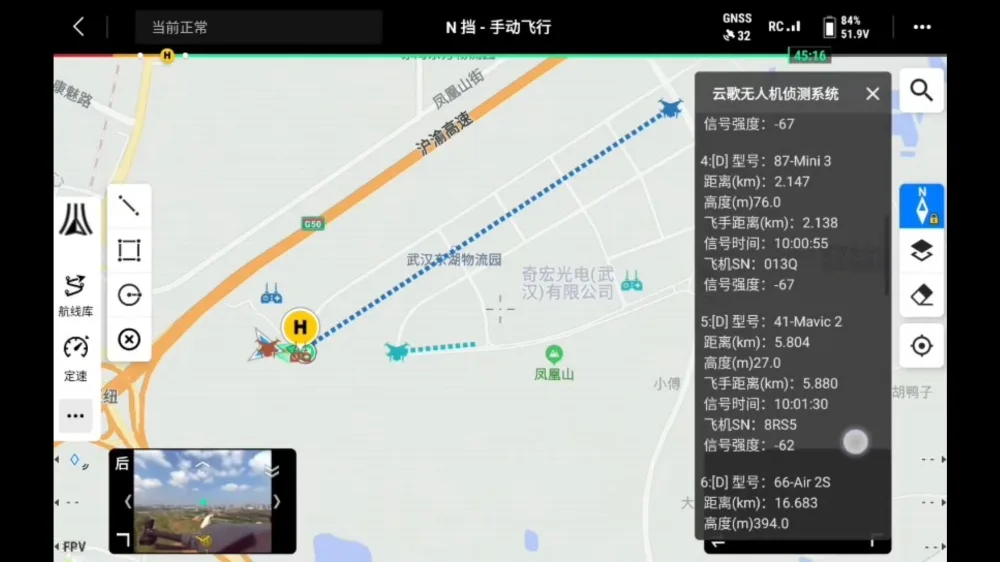
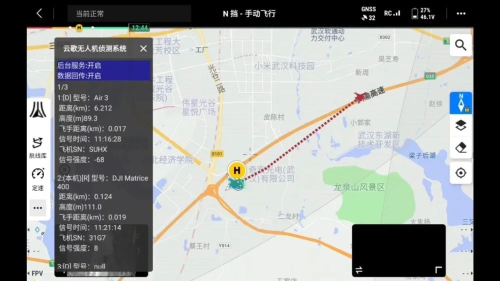
- Aerial Collection: OcuSync video transmission sends data back to the ground station.
- Air-ground Data Aggregation: Data is transmitted to the SaaS platform via DJI Pilot network for unified management.
Mobile App (iOS/Android)
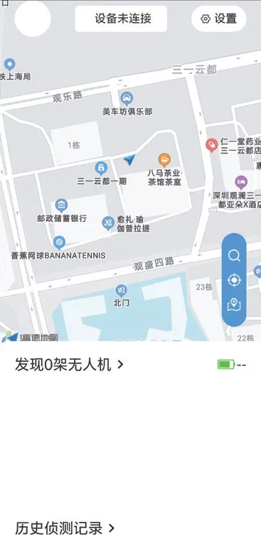
- Real-time Map: Map displayed on the homepage, showing self-positioning and nearby drone activities.
- Device Binding: Instant Bluetooth connection.
- Instant Alerts: Triggers vibration, sound and pop-up notifications when drones are detected.
- Target Details: Model, ID, altitude, speed and pilot location.
- Track Playback: View historical detection records and flight trajectories.
- Whitelist: Add legal drones on-site and synchronize with SaaS.
- Evidence Retention: Stores 20 records locally with detailed event information.
- Amap Navigation: Generate event QR code and enable in-app navigation jump.

Hardware
YunScan-F1
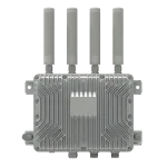
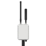
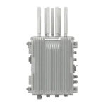
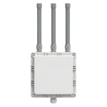
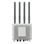
Positioning: 24/7 continuous detection and automatic reporting for key areas, suitable for long-term deployment on rooftops, lamp poles, perimeters and other locations.
Scenarios: Airport perimeters, industrial parks, surroundings of large-scale events, key port areas, etc.
Features: Multi-antenna array, 24/7 operation, remote maintenance, photovoltaic power access, quick installation and cloud collaboration.
Specifications (Compliant with GB 42590-2023):
| Parameter | Specification |
|---|---|
| Detection Range | Radius ≥ 5 km (open environment) |
| Antenna Coverage | 360° |
| Power Supply | PoE / DC / Solar / AC Mains |
| Operating Temperature | -20°C ~ 55°C |
| Protection Rating | IP65 |
| Dimensions / Weight | 250 × 250 × 300 mm / ≤2 kg |
| Communication Interface | Ethernet / 4G |
YunScan-Y1
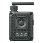
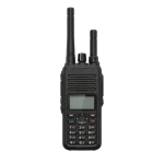
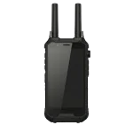
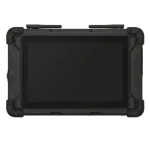
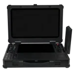
Positioning: For mobile patrol and on-site disposal; worn on shoulder and connected via App.
Scenarios: Law enforcement patrols, temporary deployment and multi-person collaboration.
Features: Lightweight to wear, QR code pairing, red & blue indicator lights, dynamic blind spot compensation, unified authorization.
Parameters (Compliant with GB 42590-2023):
| Parameter | Specification |
|---|---|
| Detection Range | Radius ≥ 1.5 km (open environment) |
| Antenna Coverage | 360° |
| Battery Life | ≥ 6 hours |
| Operating Temperature | -20°C ~ 55°C |
| Ingress Protection Rating | IP54 |
| Dimension / Weight | 60mm × 47mm × 20mm / ≤60g |
| Others | Patrol indicator light, activation via App QR code |
YunScan-Air
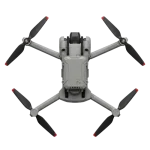
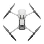
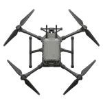
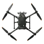
Positioning: Drone-mounted, for aerial patrol, blind spot coverage and search missions.
Scenarios: Large-scale patrols, coverage of blind spots and complex terrains, temporary missions (e.g., concerts, mountainous areas, power corridors, etc.).
Features: Boasts superior aerial perspective, supports cloud collaboration, adopts mission-based flight routes, and realizes video transmission plus cellular cloud backhaul.
Specifications (Compliant with GB 42590-2023):
| Parameter | Specification |
|---|---|
| Detection Type | Remote ID + Proprietary Protocol |
| Detection Range | Radius ≥ 10 km (open environment) |
| Simultaneous Detection Capacity | ≥ 20 Drones |
| Antenna Coverage | 360° |
| Operating Temperature | -20°C to 50°C |
| Protection Rating | IP43 |
| Dimensions / Weight | 150 × 55 × 45 mm / ≤ 350 g |